Our Environment
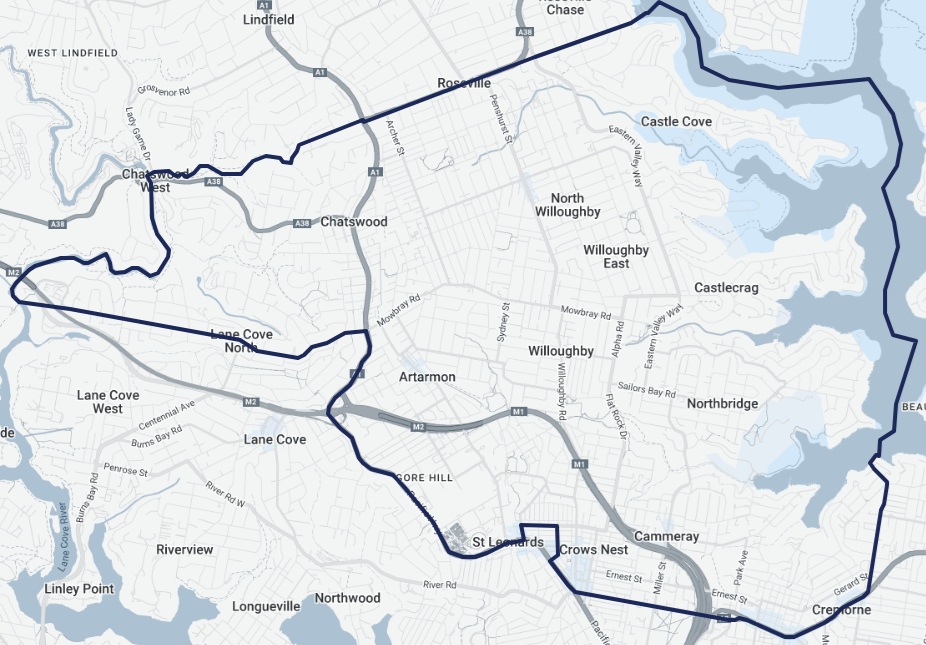
Willoughby covers 28.4 square kilometres of Cammeraygal Country on a sandstone plateau north of the harbour.
To the east, bushland gullies drop to the foreshores of Middle Harbour at Castle Cove, Castlecrag, Middle Cove and Northbridge. To the west lie the Lane Cove River catchment and the ridgeline along the Pacific Highway. In between, a high-rise centre in Chatswood sits next to leafy streets, heritage homes and some of Sydney's most intact urban bushland.
Bushland, creeks and harbour
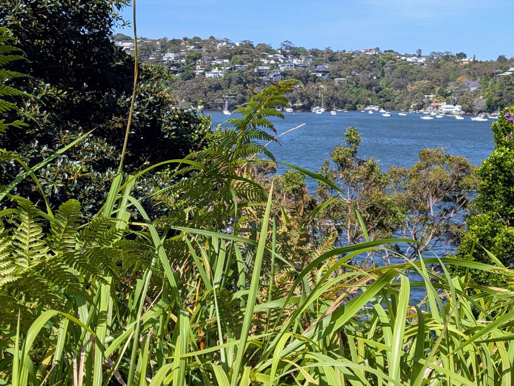
Middle Harbour
The electorate's eastern edge, where sandstone headlands and bushland gullies meet the water at Castle Cove, Castlecrag, Middle Cove and Northbridge.
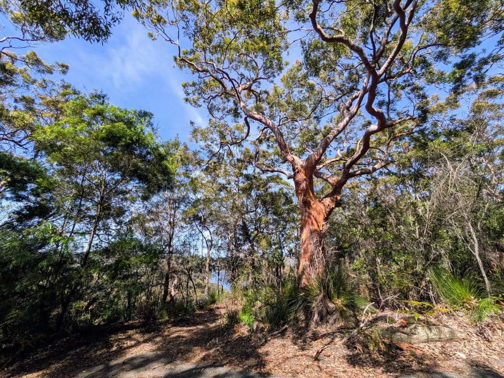
Harold Reid Reserve
Foreshore bushland in Middle Cove with a harbour lookout, wildflowers and plenty of birdlife.
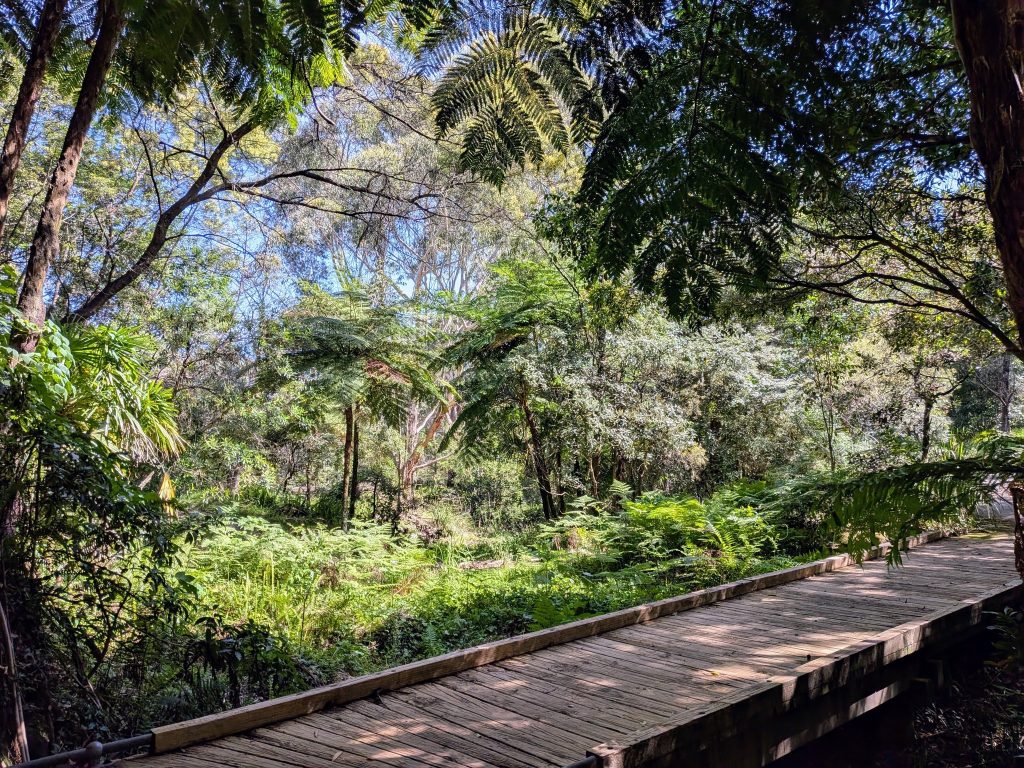
Flat Rock Gully
Around 10 hectares of bushland and creek between Naremburn, Northbridge and Willoughby, with a 4 km walking track.
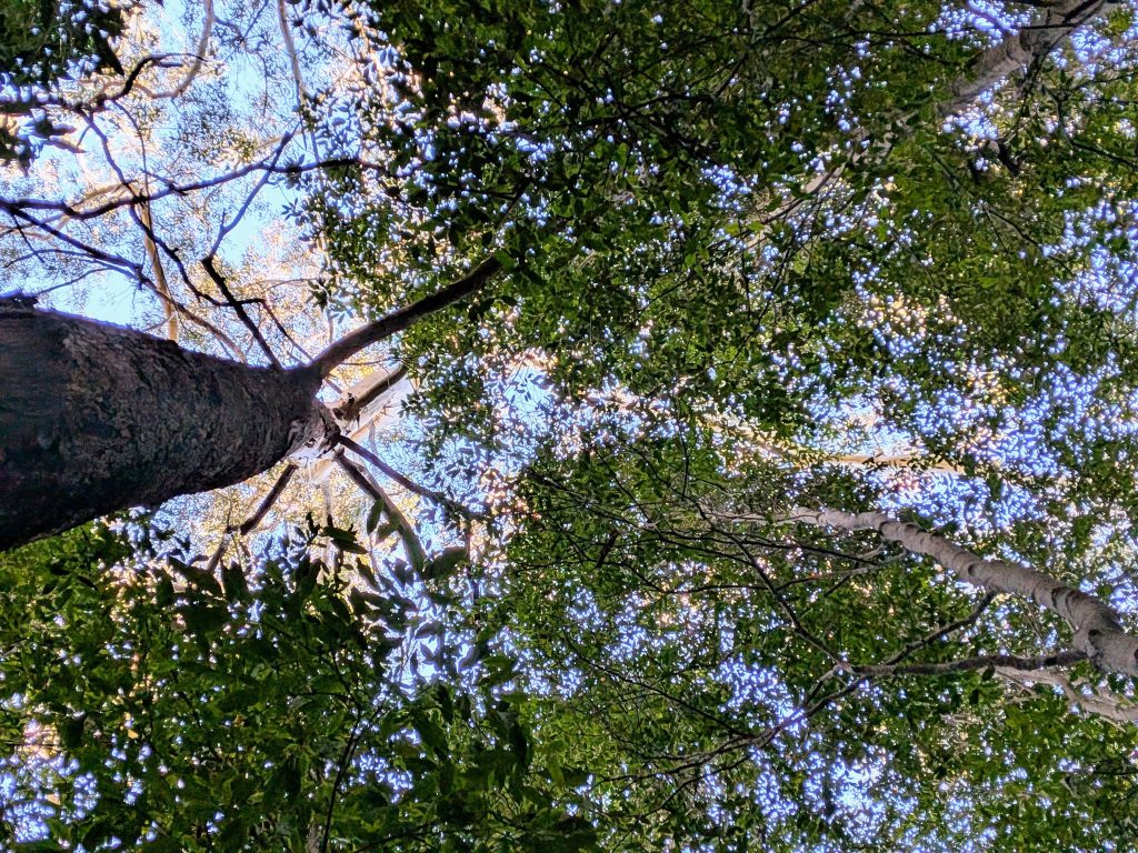
Blue Gum Reserve
Chatswood West remnant of the endangered Blue Gum High Forest that once covered the North Shore ridge.
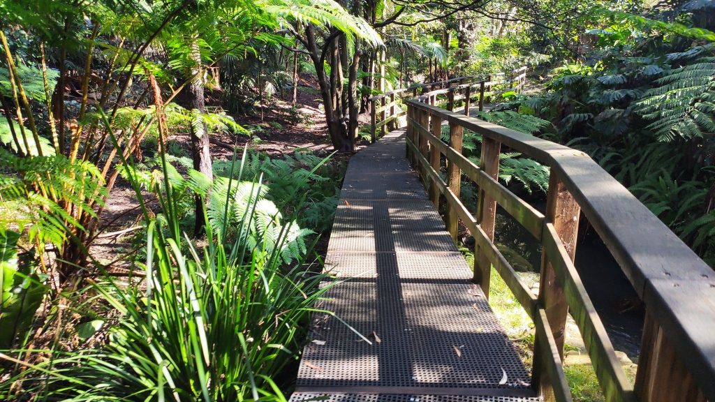
Lane Cove National Park
Reached from Chatswood West on the Blue Gum walking track, across Lady Game Drive.
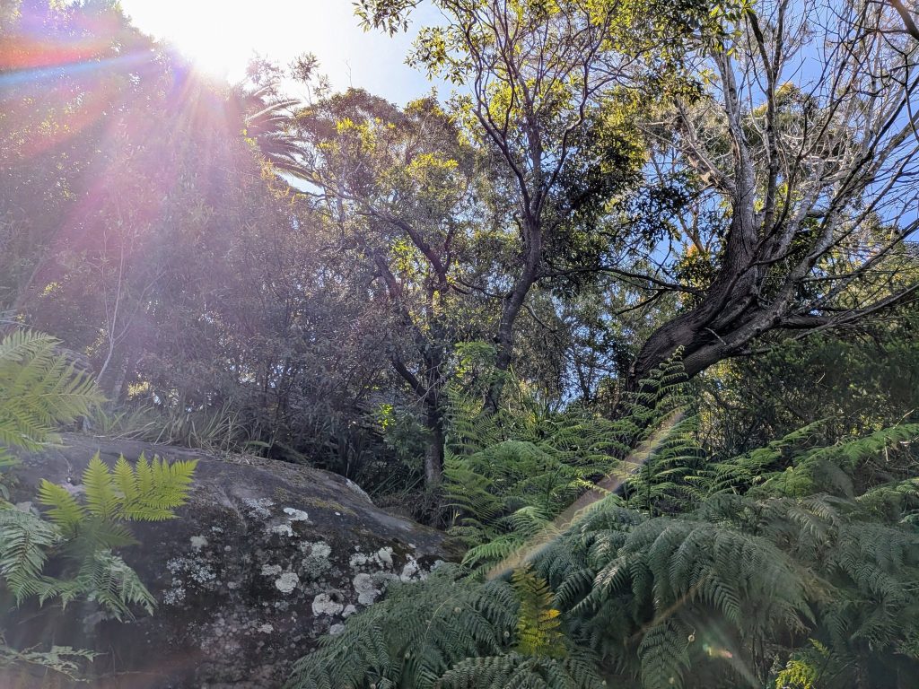
Castlecrag foreshore
Sandstone escarpments and bush reserves that the Griffins planned the suburb around in the 1920s.